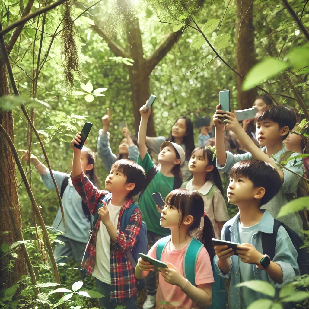
I inputted: “can you make me an image of students outside in a forest looking around using their phones to help?” into Chat GPT to get a photo for this blog entry and this is the image I got:
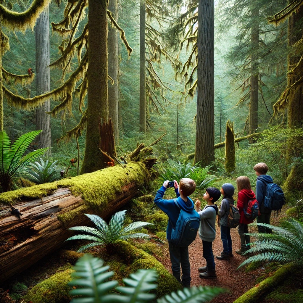
I didn’t really like how crowded the image was or that the forest wasn’t really local, so I then asked Halle to ask Chat on her computer this: “can you make me an image of 4 kids in a forest (in Pacific northwest) with one kid using their phone to take pictures” and she got this image below:
Anywaysss today we had a speaker come in and speak about how technology can be integrated into outdoor education. She showed a bunch of apps that she likes to use in her own class including:
- iNaturalist
- Merlin
- Moon pro (I think I’ll be teaching a unit in my practicum on the moon and sun, so this could be fun to use with the students and check in on the moon phase everyday, it has good visuals and data)
- Skyview
- Leafsnap
- Chatterpix
- Bookcreator
She also discussed how you can use google earth to show students where a certain area is that they are learning about. It was also mentioned how google maps can be used to go back in time a bit to see how an area has changed, either where the school is, or a neighbourhood. The speaker also talked about how she’s used google maps to take a picture of an area, say Victoria, and then printed it off, given it to students, and had them find the Indigenous names for the areas and write them on the map. I think these are really good ideas because they help students understand the idea that the land changes overtime and to develop temporal awareness. I also think it helps students understand what has come before and the history of the area, allowing them to engage with topics like colonization.
We didn’t do the scavenger hunt with QR codes that was planned because it was raining which was too bad but I think this is a really good idea that students would really enjoy. It gets them outside and moving, while also engaging with the educational content.